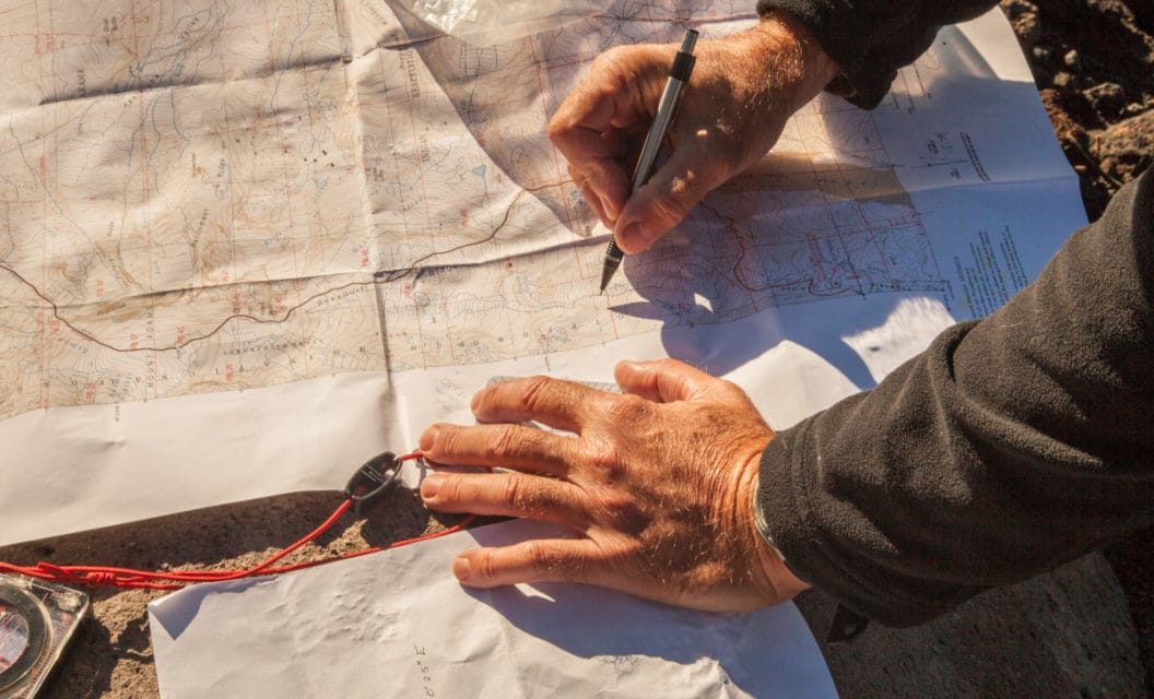
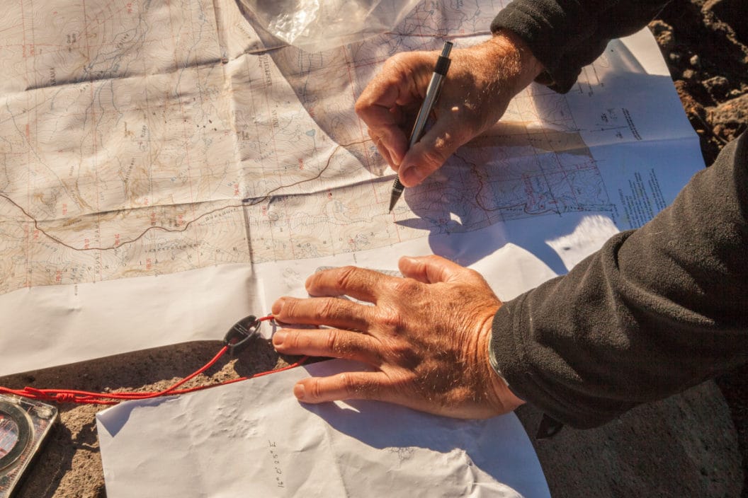
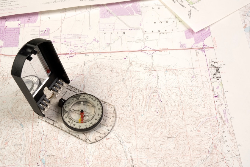
Using hunting maps for scouting can make the difference between finding your targeted game and watching them run away. Since all maps are somewhat different in their usage, no one map is going to suit all purposes for every hunt or scouting mission. We’re not going to try and make this a “map-use 101” informational piece, just try to give you a sense of how to use what you may have on hand and key things to look for. Since topographic maps have contour lines that show the changes in elevation, it is often simply a matter of finding the distance in elevation change between these lines, depending on the scale of the map. They are quite effective to look at smaller areas for the purposes of planning a scouting trip.
Hunting Maps
Getty Images: JeffBanke
Hunting maps essentially show the topography, but also include roads, trails, water systems such as rivers, streams, lakes and ponds, property boundaries, and sometimes, even such things as detailed as treelines. The value of this type of information to hunters is obvious. Bureau of Land Management (BLM) maps are some of the best use maps for hunters and even shooting enthusiasts since “over 99 percent of BLM-managed lands are open to hunting, fishing and recreational shooting opportunities.” BLM maps can be especially useful to hunters for locating new areas to hunt and scout, due to the smaller scale these maps. They can be used to find new available hunting areas on public lands. It’s easier to narrow down where the natural funnels caused by rocks, rivers, and lakes are, where possible food sources may be located, and the best places to ambush game.
Along those same lines, a great and simple resource for viewing aerial imagery is by using Google Earth. Although they can vary quite a bit in scale and detail, the view from above an area can be the difference in seeing everything from vegetation to parks and even campgrounds that may be nearby. We especially like Google for spotting funnels and possible bedding areas. In some places, the satellite views are detailed enough to where you can spot individual deer trails. If an area has trails marked on Google, you can estimate hike times by right clicking, selecting “directions from here,” and then selecting another point using the same method. Just click on “directions to here.” You might need to select “walking” from the icon at the top left of the screen for it to display an estimated hike time. It’s not perfect, but it will give a rough idea. In some areas, it will even give you elevation loss or gain along the route.
Whatever map you choose, they each have their advantages and disadvantages, but having more than one at your disposal means a better understanding of what it is you’re seeing, especially if the map has been properly updated. We highly recommend using every resource at your disposal. Pay especially close attention to the scale that’s usually in the right or left-hand corners of every map. It will help you estimate the distance to that lonely watering hole, or just how large that ridge is that’s blocking access to a key bedding area.
E-Scouting
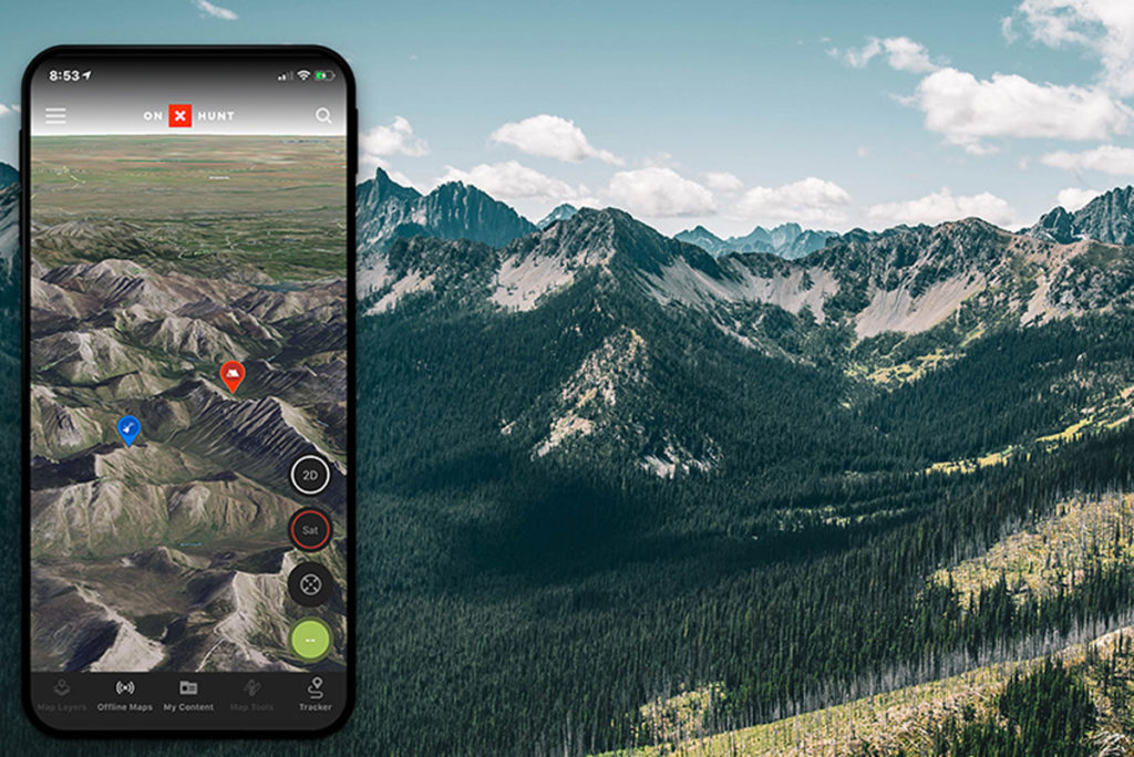
We already discussed Google, which is a great digital scouting tool. However, there are plenty of great free hunting apps out there, and a few good pay services as well. We can recommend onX Hunt and HuntWise. One of the best uses of these apps is for finding public hunting land and especially the public land boundaries, because unfortunately, these things are not always as clearly defined as we’d like. This is especially true for western states and situations arise every year that land otherwise law-abiding hunters in hot water because they didn’t know where unmarked lines were. The nice thing about some services like onX Hunt is they will sometimes provide hunting maps with landowner names and boundaries with nationwide topo and aerial imagery. Another handy feature is to save maps to offline use, because the best hunting spots often have a distinct lack of cell signal. These apps will also often track your route, elevation, and location. You can also map stand locations, trail cameras, and even water sources.
Planning Your Scouting Trip
Studying maps and satellite imagery of a hunt area can only get you so far. Once you have the right maps, and depending on your knowledge of the area, you should come prepared to inspect what you discovered on the maps in person. Hard-copy maps can be found at BLM field offices, but we highly recommend a GPS, or the apps mentioned above to keep an eye on land boundaries as you are exploring. Keep track of important points of interest as they will be of good use in areas where the cell service is limited or not there at all.
Whitetail deer hunters will find that they can use maps to plan on certain wind directions due to their home area and natural wind sources. In this way, you can plan to scout an area’s food sources or bedding areas based on your own walking direction. This will help you to avoid spooking deer that you’re not ready to hunt. In-person scouting allows you to measure and confirm distances of your walk-in routes, the exact width of a valley, and where the nearest access point is located. It doesn’t hurt to check cell coverage before you go to determine if you will need to use maps in offline mode in remote hunting areas.
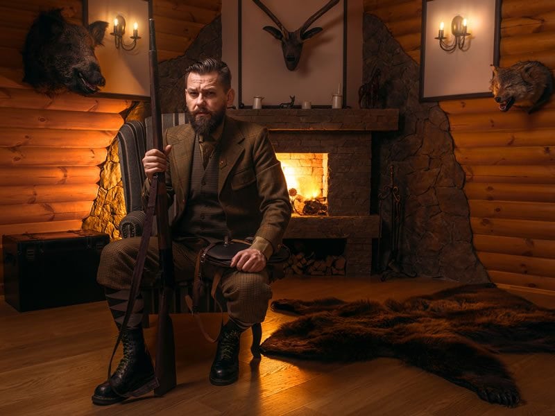
Finally, a few safety precautions. Make sure that your tech is working properly and that you have a good charge on your cell phone. Take proper clothing and footwear for the conditions. Most importantly, don’t forget to let someone know that where you are going and when you mean to return.
Learning Curve
Big game hunting success isn’t based solely maps, scouting, or wind direction. Think of maps as just another tool in your arsenal, but not the only one. We’re so used to having everything at our fingertips now that it may take a little work to truly understand the base reality of what our forefathers used to explore the very remote areas that we all wanted to hunt. Our dads and granddads didn’t have Google maps to use, they based their hunting experience on effort and desire. Those who had access to good quality hard-copy maps were the ones who became the best hunters out there and we now call outfitters. Anyone with the desire to become a better hunter needs to establish themselves as one who is willing to take another step towards hunting success. None of us need to become a professional map reader, just that we need to take the time to get better acquainted with a tool that has been around for many years: the hunting map.
Looking for a new way to display those antler sheds? Go to Rack Hub and use the coupon code Craiger. Be sure to follow my webpage, or on Facebook and YouTube.
READ MORE: HOW TO FIND HUNTING LEASE LAND: WHERE WILL YOU SIT NEXT SEASON?
The post How to Use Maps to Plan Your Scouting Trip for Hunting appeared first on Wide Open Spaces.