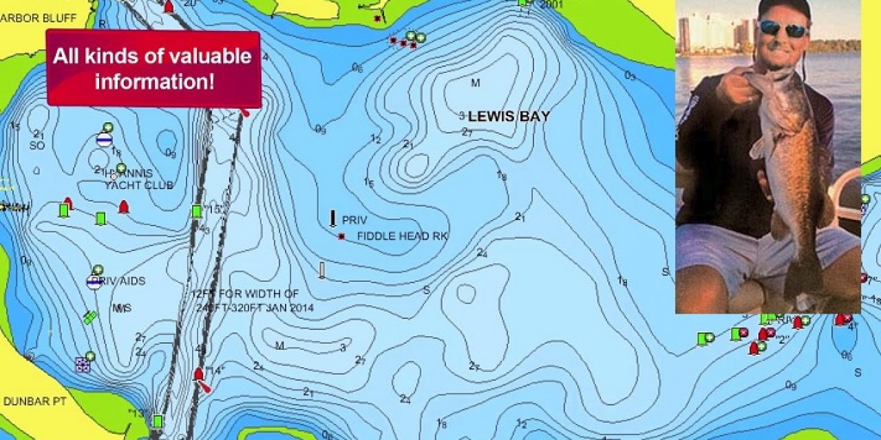
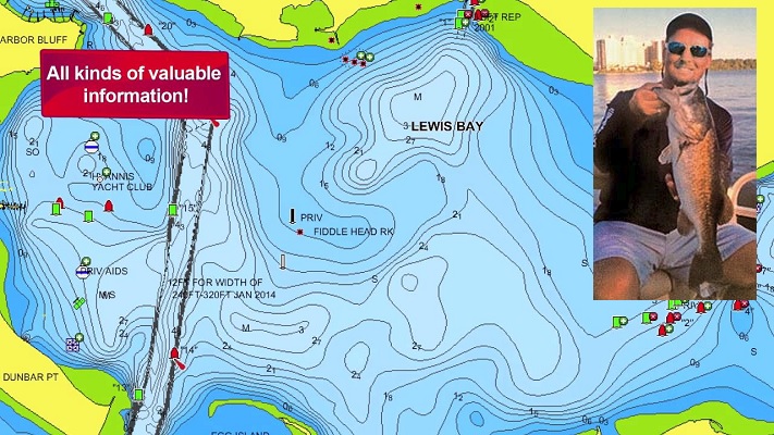
The key to finding fish is structure and contours. This is especially true in bass fishing, with changing patterns and depths related to seasonal migrations. With modern technologies, Navionics offers maps for electronic plotters and mobile device apps to show these bottom contours on most Florida lakes. Reading the detail just takes a little practice. Each “contour line” indicates a change in one foot depth. Basically like a step. They either go up or down and some are closer or farther apart. As these lines/steps get closer this means a drop-off or a ledge that will hold fish. The tighter/thicker the lines, the more dramatic a drop-off. A surrounding area that shows depths decreasing would indicate a deep hole–a great spot for summer fish when they drop to deeper cooler waters. Conversely, if the surrounding area shows depths increasing, then potentially you are looking at an offshore hump that can hold suspended fish that may be feeding in current as bait goes by or a schooling area on a reef.
Many fishermen talk about fishing points, but which ones and why? With the aid of an electronic chart with contours, a point can be “patterned”. In winter/spring, look for a point that shows contours that have a lot of space between them. This means a shallow sloping flat. These are areas that fish can use to warm up and may provide a spawning area or pre-spawn staging prior to moving shallower.
A point that shows fast declining contours is more of a feeding location. Bass can move quickly from deep water up onto the shallows and attack a bait. Contours are also important with vegetation lines. If bass are holding in a four-foot depth along a weed line, contours can show you where that four-foot depth is so you can potentially match that with a weed edge for more success.
If you don’t own a bass boat or electronic GPS, but bank fish, kayak, canoe, or have a pond crawler, don’t fret! One can still take advantage of this information with a Navionics mobile app that shows the same chart detail on your phone. Navionics supports the FWC TrophyCatch program (TrophyCatchFlorida.com, see maps with verified catches). To see more examples of what these contours look like, please visit bit.ly/Nav-tc and check out the online charts.
The post Fishing Contours appeared first on OutDoors Unlimited Media and Magazine.